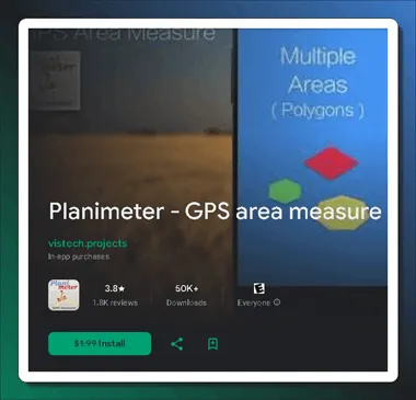
Planimeter, the best tool for measuring land accurately, is now free on Google Play (it normally costs $1.99). With this app from VisTech.Projects, it’s easier to figure out areas, distances, and perimeters on Google Maps using GPS technology.
From professional surveyors to avid outdoor enthusiasts, Planimeter has you covered for all your measurement needs.
What is a Planimeter?
Runnable on iOS and Android, this app serves a variety of purposes. Using it as a land surveying tool, users may measure area, distance, perimeter, and angles right on Google Maps.
If you’re into farming, architecture, or just spending time outdoors, the Planimeter is the tool for you. It effortlessly delivers accurate measurements.

What Can Planimeter Do?
You can use this app for a range of tasks, including:
- Perimeter and distance measurements: Using the app, it is simple to find the distance between any two places on a Google map. You can use this to measure the length of a field’s perimeter, the distance to a specific landmark, or even a fence line.
- Area calculations: any shape’s area may be determined by this. A field, pond, or piece of property can be calculated with this.
- Making and distributing KML files: lets you make KML files, a format for storing geographic data. Because of this, it’s simple to export your measurements or import them into different mapping programs.

Key Features:
- GPS Tracking: With the help of GPS, the app can track your real-time location. You can drive or walk around a boundary, and the app will measure the area automatically.
- Magnifying Glass: It is crucial to have pinpoint accuracy. You can measure areas and distances with pinpoint accuracy using this land survey app’s magnifying glass feature.
- Distance and Bearing Input: Perfect for architects and land surveyors, it allows you to add points with precise distance and angle inputs.
- Your measurements can be saved, edited, labelled, and shared in KML data files and images.
- Efficient Labeling: For enhanced organization, you have the option to add labels to your measurements in Notes Mode, which is an additional premium service.
- Interoperability with Other Tools and Systems: This feature ensures interoperability with other systems by supporting various coordinate formats.
- Calculate the radius around a location using the Circle Mode (in-app purchase).
- Estimate expenses by height or rate per square unit with the volume/cost calculator (in-app purchase).

How Does Planimeter Work?
The app is straightforward to use and understand. You may easily measure the perimeter or distance by tapping the map once to begin and again to stop the measurement. After that, the distance will be shown on the screen via the measurement app.
Just by drawing the shape’s contour on the map with your finger, you can determine its area. After that, the app will figure out the area and show it to you.
You can save a measurement as a KML file after you’ve made it. This file can then be shared or imported into different mapping programs.
Get the Planimeter App for Free:
The Android version of this app, which normally retails for $1.99, is currently available on the Google Play Store for free for a limited time.
To get the app, either use the QR code that is below or go to this Google Play store link (https://play.google.com/store/).

Conclusion: Your Go-To Land Measurement Companion
The planimeter is a useful tool for both pros and amateurs. Thanks to its precision and adaptability, the app is an indispensable tool for anybody involved in garden planning, farmland assessment, or solar installation design. Give it a go and see for yourself how accurate the measurements may be! ????????
